
New interactive map of deep-sea data

The Norwegian Offshore Directorate has launched an interactive map of deep-sea data, Deep Sea Surveys.
Deep Sea Surveys provides an overview of mapping and sampling carried out in the deep-sea on the Norwegian continental shelf (NCS).
The data is published under the Norwegian Licence for Open Government Data (NLOD).
It should be noted that the database is not complete, and work is ongoing to add all existing data.
If you have any questions, please contact factweb@sodir.no.
Seminar on deep-sea data
The first version of the database was launched during a seminar at the Norwegian Offshore Directorate 5 June.
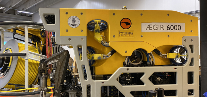
Deep-sea research in Norway has been pioneered by the University of Bergen for 25 years, and subsequently several different universities, research institutes and national programmes have taken part in deep-sea exploration.
The seminar gave an overview of the data acquired, planned mapping activities, as well as examples of ongoing collaboration projects between industry and academia.
View recording from the seminar (predominantly in Norwegian).
Contact Information


Arendalsuka
Come to our event at Arendalsuka, where we explore what it takes to succeed with deep-sea minerals.
Key questions include:
- What are the latest regulatory developments?
- How does geopolitical tension affect supply security?
- What is the economic potential?
- What do we know – and what do we still need to learn?
Further Reading
Related Event
GCE Ocean Technology Events
Other events